Project Partner
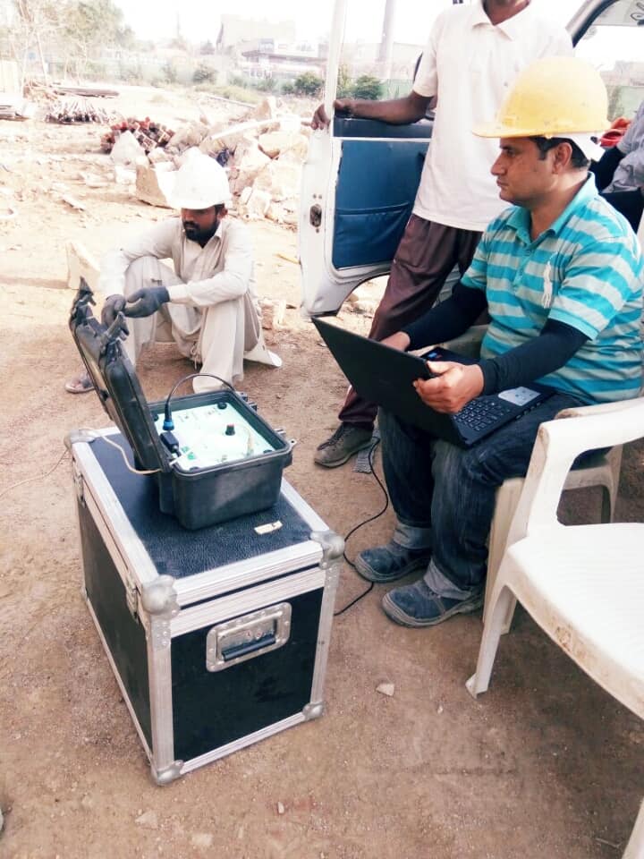
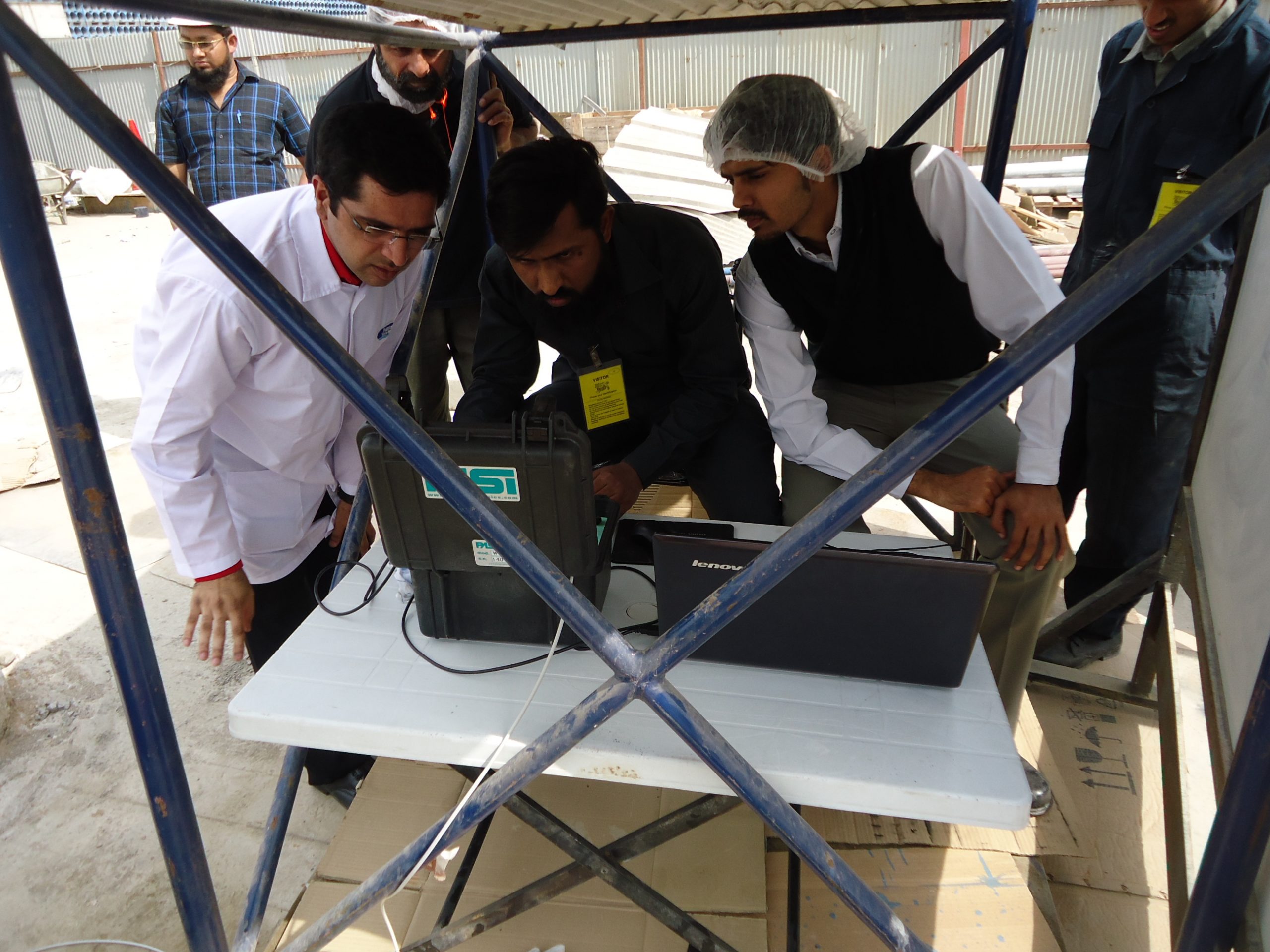
Geophysical methods are recognized worldwide as cost effective tools of investigation for ascertaining information about subsurface. BNB has created in-house capability of conducting geophysical surveys for groundwater, pollution studies, mineral exploration and engineering site investigation.
BNB divides its sector into main two sub-sectors of geophysics; Surface Exploration Techniques and Borehole Exploration Techniques.
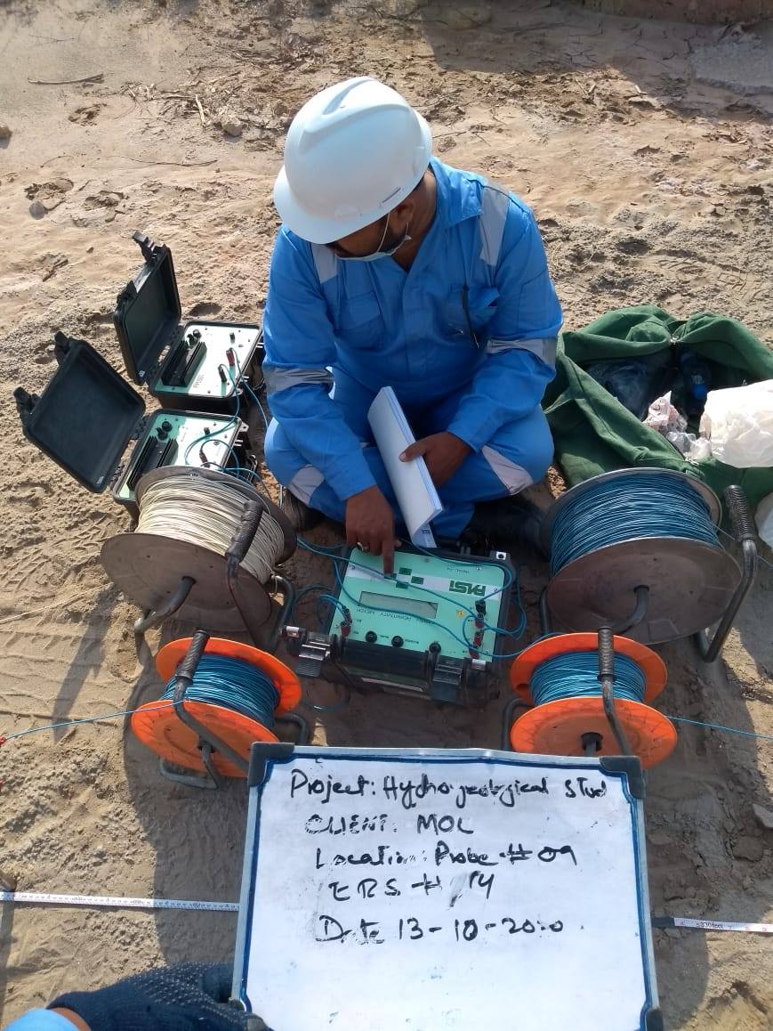
Vertical Electrical Soundings (VES) with Schlumberger configuration are conducted in order to delineate groundwater potential aquifer zones. Vertical Electrical Soundings (VES) at site are observed to study the subsurface lithology.
The results of the investigations obtained by using electrical resistivity software are presented in tabulated form, indicating the interpreted thickness and resistivity of the subsurface layers
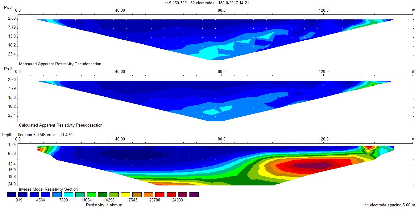
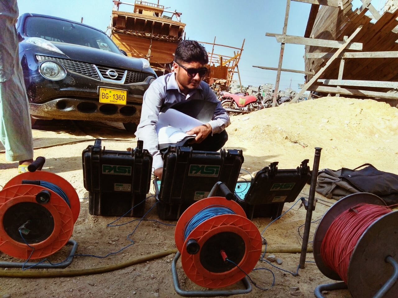
Multi-Electrode Electrical Resistivity (MER) provides rapid, non-invasive, and cost effective geophysical mapping over any type of terrain. MER system employs 32 to 256 electrodes attached to a cable. On land, the electrodes are coupled to the ground using 24-inch stainless steel spikes. Several different methods (Wenner or Schlumberger or diploe diploe) are used to collect electrical data. MER technique is used for the following purposes:
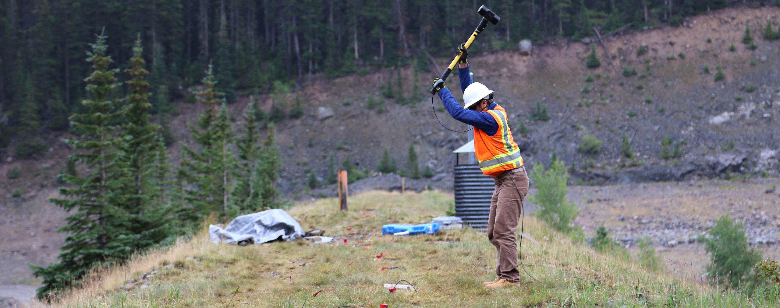
The seismic survey can explain subsurface discontinuities, layering, and probable rocks/structures. It is suitable for the investigation of coal, oil and gas, groundwater, and massive metallic deposits. A 3D seismic survey outlines the basin configuration and resource estimate. Exploration seismograph is used for following seismic survey.
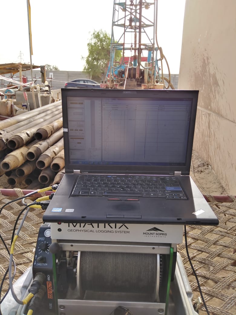
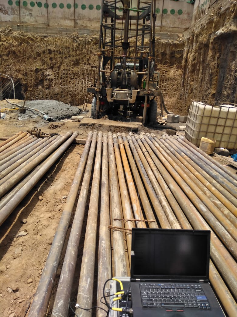
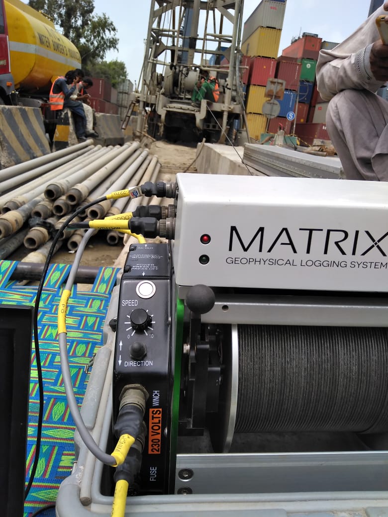
Borehole exploration techniques are a synonym for geophysical logging and are helpful for identifying the following:
Geophysical logging is very useful tool to help recognize aquifer zone and lithology of borehole. The logs acquired from boreholes are used to interpret aquifer zone and the lithologies encountered in the borehole during drilling.
Geophysical log represents the thickness of aquifer zone, the aquifers identified after qualitative interpretation of natural gamma, SP and SPR logs are tabulated indicating the top, bottom, thickness and lithologies.
The geophysical logs are generally included in water well exploration program for aquifer zone recognition and stratigraphic identification and the rank, quality, and its thickness, besides other methods of exploration.
In drilling industry BNB is the pioneers in regards to Video logging. Our equipment has the competence to facilitate the customer requirement by going down-hole to capture the real time condition with the extensive range of up to 500m.
The Video logger complete system is able to photograph or film during the investigation. Also, comments and explanations can be saved for any documentation/record of your project. Performing a video inspection can determine the causes of the most common problems that can affect a well in the course of its productive life, such as the presence of sand and a decrease in water flow. Furthermore, it can detect abnormalities such as deterioration, deformation, corrosion, cracks and excessive deposit on the bottom.
The Video logger can assess situations of risk from degradation and the appropriate measures needed to repair the well. Maintenance can therefore be conveniently scheduled according to the typical characteristics of the groundwater and resulting problems. It also helps to rapidly complete the missing documentation for existing wells (total depth, depth of installation of the filtering features, type of pipes and efficiency) and to check the actual conditions before performing costly repair work.